Beechdown Park
Introduction
The photograph on this page of Beechdown Park by Richard Dorrell as part of the Geograph project.
The Geograph project started in 2005 with the aim of publishing, organising and preserving representative images for every square kilometre of Great Britain, Ireland and the Isle of Man.

There are currently over 7.5m images from over 14,400 individuals and you can help contribute to the project by visiting https://www.geograph.org.uk
Beechdown Park
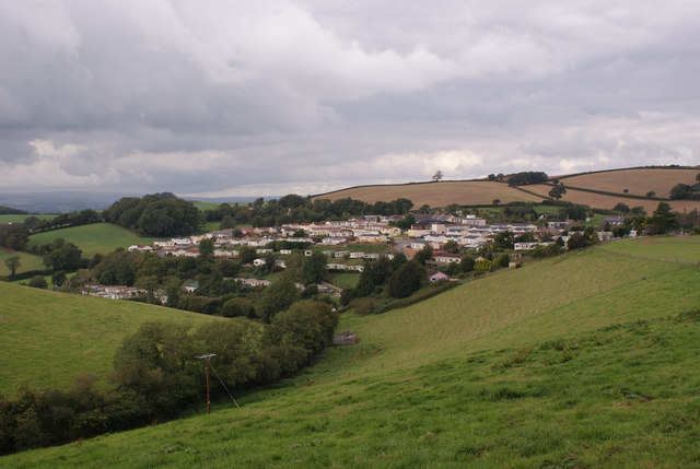
Image: © Richard Dorrell Taken: 15 Sep 2015
Located off Totnes Road in Blagdon, this view of the mobile/park home development is from the track leading to Newbarn Farm.
Images are licensed for reuse under creativecommons.org/licenses/by-sa/2.0
Image Location
Latitude
50.427732
Longitude
-3.615331