Felinwynt Summit
Introduction
The photograph on this page of Felinwynt Summit by Rude Health as part of the Geograph project.
The Geograph project started in 2005 with the aim of publishing, organising and preserving representative images for every square kilometre of Great Britain, Ireland and the Isle of Man.

There are currently over 7.5m images from over 14,400 individuals and you can help contribute to the project by visiting https://www.geograph.org.uk
Felinwynt Summit
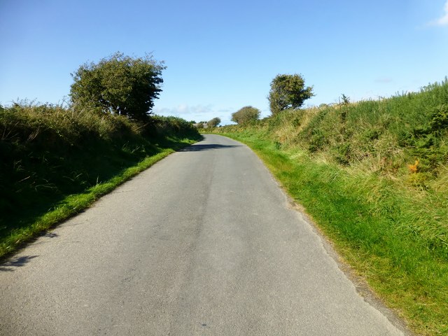
Image: © Rude Health Taken: 12 Sep 2015
Roadside bag so up hedgeside to NNW and SSE but fields seem lower than road. Name: Felinwynt Hill number: 15438 Height:174m / 571ft Parent (Ma/M): 2221 Rhos Ymryson Section:31C: South-West Wales County/UA:Cardiganshire [Ceredigion] (CoU) Class: Tump (100-199m) Grid ref:SN226503 (est) Drop: 55m Col:119m SN248499
Images are licensed for reuse under creativecommons.org/licenses/by-sa/2.0
Image Location


Leaflet Map data © OpenStreetMap
Latitude
52.12247
Longitude
-4.592735