Greenock and Gourock from the air
Introduction
The photograph on this page of Greenock and Gourock from the air by Thomas Nugent as part of the Geograph project.
The Geograph project started in 2005 with the aim of publishing, organising and preserving representative images for every square kilometre of Great Britain, Ireland and the Isle of Man.

There are currently over 7.5m images from over 14,400 individuals and you can help contribute to the project by visiting https://www.geograph.org.uk
Greenock and Gourock from the air
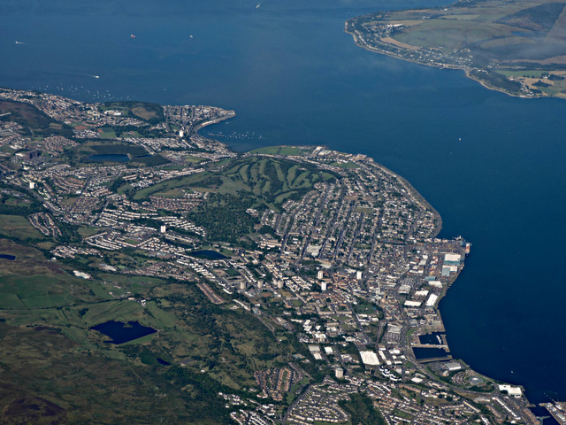
Image: © Thomas Nugent Taken: 14 Sep 2015
Looking over the east end of Greenock, with part of James Watt Dock visible in the lower right corner, with Victoria Harbour, East India Harbour and Greenock Ocean Terminal beyond. Kempock Point at the far side of Gourock Bay is prominent, with the tip of the Rosneath peninsula opposite in the top right corner.
Images are licensed for reuse under creativecommons.org/licenses/by-sa/2.0
Image Location
Latitude
55.933237
Longitude
-4.730959