Field with straw bales
Introduction
The photograph on this page of Field with straw bales by Robin Webster as part of the Geograph project.
The Geograph project started in 2005 with the aim of publishing, organising and preserving representative images for every square kilometre of Great Britain, Ireland and the Isle of Man.

There are currently over 7.5m images from over 14,400 individuals and you can help contribute to the project by visiting https://www.geograph.org.uk
Field with straw bales
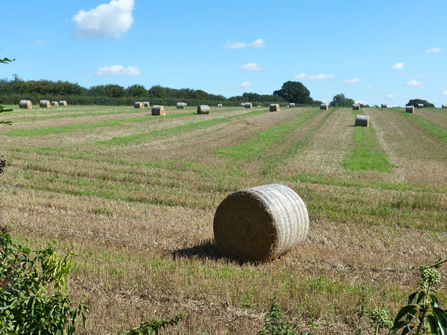
Image: © Robin Webster Taken: 19 Sep 2015
Roe End Lane, technically a full public highway but in practice a footpath, forms the near and left boundaries of the field.
Images are licensed for reuse under creativecommons.org/licenses/by-sa/2.0
Image Location
Latitude
51.833782
Longitude
-0.501652