Park between Central Drive and Queen Victoria Road
Introduction
The photograph on this page of Park between Central Drive and Queen Victoria Road by Robin Stott as part of the Geograph project.
The Geograph project started in 2005 with the aim of publishing, organising and preserving representative images for every square kilometre of Great Britain, Ireland and the Isle of Man.

There are currently over 7.5m images from over 14,400 individuals and you can help contribute to the project by visiting https://www.geograph.org.uk
Park between Central Drive and Queen Victoria Road
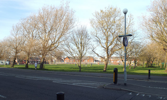
Image: © Robin Stott Taken: 20 Apr 2015
The other bounding roads are Lune Grove, Palmer Avenue and Mayor Avenue.
Images are licensed for reuse under creativecommons.org/licenses/by-sa/2.0
Image Location
Latitude
53.805923
Longitude
-3.04514