Weir on the River Leadon
Introduction
The photograph on this page of Weir on the River Leadon by Jonathan Thacker as part of the Geograph project.
The Geograph project started in 2005 with the aim of publishing, organising and preserving representative images for every square kilometre of Great Britain, Ireland and the Isle of Man.

There are currently over 7.5m images from over 14,400 individuals and you can help contribute to the project by visiting https://www.geograph.org.uk
Weir on the River Leadon
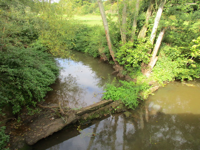
Image: © Jonathan Thacker Taken: 16 Sep 2015
I guess it's all relative. At this point the River Leadon barely counts as a river being little more than a metre wide so a weir that's maybe 15cm high is just right proportionately (though the water has found a way round it).
Images are licensed for reuse under creativecommons.org/licenses/by-sa/2.0
Image Location
Latitude
51.967542
Longitude
-2.367046