Llawr Gors
Introduction
The photograph on this page of Llawr Gors by Alan Fryer as part of the Geograph project.
The Geograph project started in 2005 with the aim of publishing, organising and preserving representative images for every square kilometre of Great Britain, Ireland and the Isle of Man.

There are currently over 7.5m images from over 14,400 individuals and you can help contribute to the project by visiting https://www.geograph.org.uk
Llawr Gors
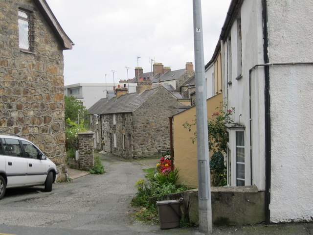
Image: © Alan Fryer Taken: 18 Sep 2015
A terrace which takes its name from the Cors (marsh) which was the pwll heli (salt-water pool) from which the town took its name.
Images are licensed for reuse under creativecommons.org/licenses/by-sa/2.0
Image Location
Latitude
52.890908
Longitude
-4.415828