Wilk's Hill
Introduction
The photograph on this page of Wilk's Hill by Robert Graham as part of the Geograph project.
The Geograph project started in 2005 with the aim of publishing, organising and preserving representative images for every square kilometre of Great Britain, Ireland and the Isle of Man.

There are currently over 7.5m images from over 14,400 individuals and you can help contribute to the project by visiting https://www.geograph.org.uk
Wilk's Hill
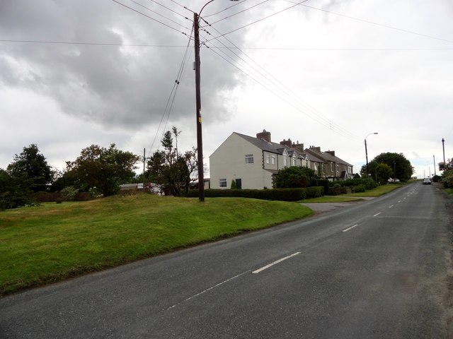
Image: © Robert Graham Taken: 7 Jul 2015
This little hamlet consists of just 2 short terraced streets and a farm. The farm is on the first series Ordnance Survey map of 1861, but the houses don't appear until the 1898 one. They are possibly connected to the coal mining which once went on in this area.
Images are licensed for reuse under creativecommons.org/licenses/by-sa/2.0
Image Location
Latitude
54.790064
Longitude
-1.734977