Cyclepath and A84 near Edinchip
Introduction
The photograph on this page of Cyclepath and A84 near Edinchip by Jim Barton as part of the Geograph project.
The Geograph project started in 2005 with the aim of publishing, organising and preserving representative images for every square kilometre of Great Britain, Ireland and the Isle of Man.

There are currently over 7.5m images from over 14,400 individuals and you can help contribute to the project by visiting https://www.geograph.org.uk
Cyclepath and A84 near Edinchip
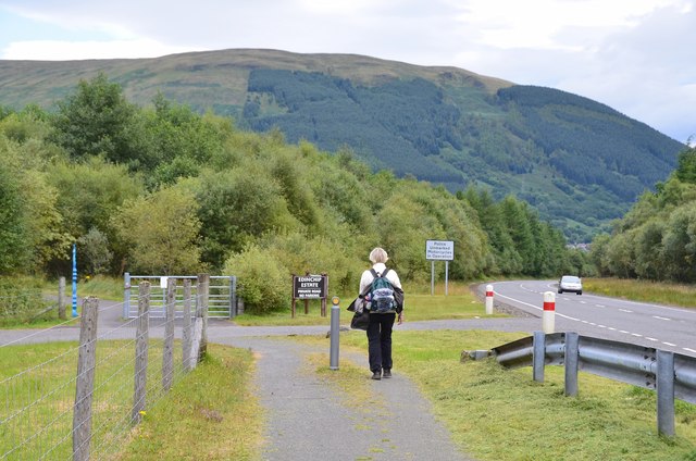
Image: © Jim Barton Taken: 4 Sep 2015
The route heads leftwards past the blue cycle network milepost. To the left is the private road for Edinchip Estate.
Images are licensed for reuse under creativecommons.org/licenses/by-sa/2.0
Image Location
Latitude
56.369791
Longitude
-4.297342