Ridgeway on Icknield Way, above Bledlow
Introduction
The photograph on this page of Ridgeway on Icknield Way, above Bledlow by David Hawgood as part of the Geograph project.
The Geograph project started in 2005 with the aim of publishing, organising and preserving representative images for every square kilometre of Great Britain, Ireland and the Isle of Man.

There are currently over 7.5m images from over 14,400 individuals and you can help contribute to the project by visiting https://www.geograph.org.uk
Ridgeway on Icknield Way, above Bledlow
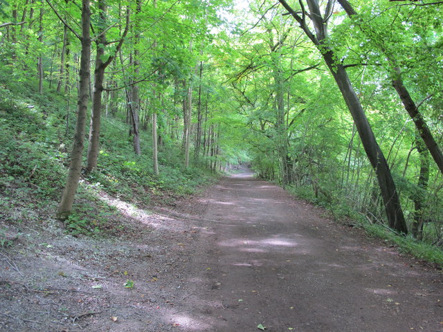
Image: © David Hawgood Taken: 12 Sep 2015
The Ridgeway long distance path deviates from the ancient Icknield Way to avoid a road section, but here the two run together between two areas of woodland, The Warren and The Cop. Here the track is a Byway Open to All Traffic.
Images are licensed for reuse under creativecommons.org/licenses/by-sa/2.0
Image Location
Latitude
51.70401
Longitude
-0.879024