Erection of two houses
Introduction
The photograph on this page of Erection of two houses by John Baker as part of the Geograph project.
The Geograph project started in 2005 with the aim of publishing, organising and preserving representative images for every square kilometre of Great Britain, Ireland and the Isle of Man.

There are currently over 7.5m images from over 14,400 individuals and you can help contribute to the project by visiting https://www.geograph.org.uk
Erection of two houses
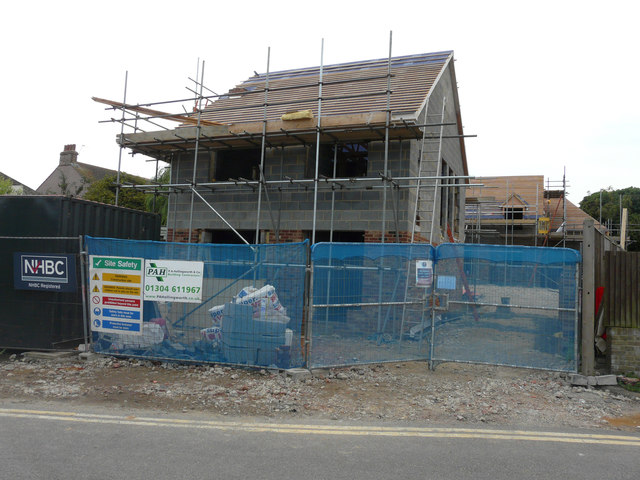
Image: © John Baker Taken: 23 Aug 2015
They are being built on Image Planning permission has been granted by Dover District Council under application number DOV/13/00309 for the “erection of two detached dwellings and creation of a vehicular access. Upon completion, the nearer house was named Image
Images are licensed for reuse under creativecommons.org/licenses/by-sa/2.0
Image Location
Latitude
51.273559
Longitude
1.333254