The Longford River
Introduction
The photograph on this page of The Longford River by Des Blenkinsopp as part of the Geograph project.
The Geograph project started in 2005 with the aim of publishing, organising and preserving representative images for every square kilometre of Great Britain, Ireland and the Isle of Man.

There are currently over 7.5m images from over 14,400 individuals and you can help contribute to the project by visiting https://www.geograph.org.uk
The Longford River
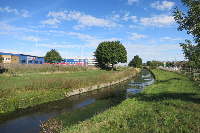
Image: © Des Blenkinsopp Taken: 21 Aug 2015
Two man made watercourses, The Duke of Northumberland's and the Longford Rivers, flow side by side along here just a few metres apart. Both streams are artificial distributaries of the River Colne, made to divert water to be used elsewhere. The Duke's river augmented water mills on the River Crane, while the Longford River, shown here, supplied clean water to Hampton Court Palace beside the polluted River Thames.
Images are licensed for reuse under creativecommons.org/licenses/by-sa/2.0
Image Location
Latitude
51.458724
Longitude
-0.473517