Depth gauge in Ford Lane
Introduction
The photograph on this page of Depth gauge in Ford Lane by Pauline E as part of the Geograph project.
The Geograph project started in 2005 with the aim of publishing, organising and preserving representative images for every square kilometre of Great Britain, Ireland and the Isle of Man.

There are currently over 7.5m images from over 14,400 individuals and you can help contribute to the project by visiting https://www.geograph.org.uk
Depth gauge in Ford Lane
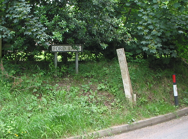
Image: © Pauline E Taken: 13 Jun 2007
It's been very dry here for a couple of weeks so no water on the road today.
Images are licensed for reuse under creativecommons.org/licenses/by-sa/2.0
Image Location
Latitude
51.925435
Longitude
-2.453082