Path, mud and railway cutting edge
Introduction
The photograph on this page of Path, mud and railway cutting edge by Clint Mann as part of the Geograph project.
The Geograph project started in 2005 with the aim of publishing, organising and preserving representative images for every square kilometre of Great Britain, Ireland and the Isle of Man.

There are currently over 7.5m images from over 14,400 individuals and you can help contribute to the project by visiting https://www.geograph.org.uk
Path, mud and railway cutting edge
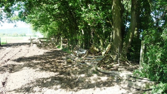
Image: © Clint Mann Taken: 6 Sep 2015
This muddy public footpath is viewed at a junction where the path has just turned to run parallel with the deep cutting (to right and below in image) that represents the remains of a dismantled railway line. Remnants of carts, wheels etc are in evidence on the ground here.
Images are licensed for reuse under creativecommons.org/licenses/by-sa/2.0
Image Location
Latitude
51.889694
Longitude
-2.508519