Grid across a lane to Quarryhill Farm, Thrupp
Introduction
The photograph on this page of Grid across a lane to Quarryhill Farm, Thrupp by Jaggery as part of the Geograph project.
The Geograph project started in 2005 with the aim of publishing, organising and preserving representative images for every square kilometre of Great Britain, Ireland and the Isle of Man.

There are currently over 7.5m images from over 14,400 individuals and you can help contribute to the project by visiting https://www.geograph.org.uk
Grid across a lane to Quarryhill Farm, Thrupp
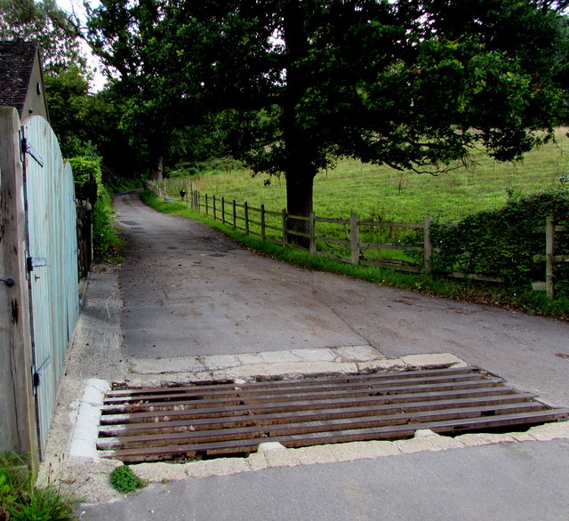
Image: © Jaggery Taken: 6 Sep 2015
On the east side of the A419 London Road. Usually referred to as a cattle grid, this is a barrier to the passage of all cloven hoof animals.
Images are licensed for reuse under creativecommons.org/licenses/by-sa/2.0
Image Location
Latitude
51.731476
Longitude
-2.203826