Green Lane at the junction of Blackwell Hall Lane
Introduction
The photograph on this page of Green Lane at the junction of Blackwell Hall Lane by David Howard as part of the Geograph project.
The Geograph project started in 2005 with the aim of publishing, organising and preserving representative images for every square kilometre of Great Britain, Ireland and the Isle of Man.

There are currently over 7.5m images from over 14,400 individuals and you can help contribute to the project by visiting https://www.geograph.org.uk
Green Lane at the junction of Blackwell Hall Lane
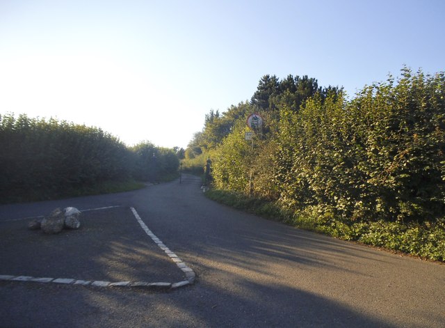
Image: © David Howard Taken: 10 Sep 2015
This leads to White End farm and was closed some time after 2008. The grass triangle was also replaced by the flat one here.
Images are licensed for reuse under creativecommons.org/licenses/by-sa/2.0
Image Location
Latitude
51.69374
Longitude
-0.570666