Draining the excess
Introduction
The photograph on this page of Draining the excess by Neil Owen as part of the Geograph project.
The Geograph project started in 2005 with the aim of publishing, organising and preserving representative images for every square kilometre of Great Britain, Ireland and the Isle of Man.

There are currently over 7.5m images from over 14,400 individuals and you can help contribute to the project by visiting https://www.geograph.org.uk
Draining the excess
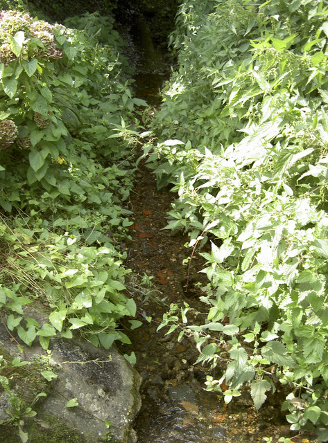
Image: © Neil Owen Taken: 10 Sep 2015
Westonzoyland can be found in the Somerset Levels and as such is never very far above the water table. Drainage ditches and rhynes criss-cross the village, like this one which appears under a path.
Images are licensed for reuse under creativecommons.org/licenses/by-sa/2.0
Image Location
Latitude
51.110342
Longitude
-2.927319