Woods
Introduction
The photograph on this page of Woods by Keith Williamson as part of the Geograph project.
The Geograph project started in 2005 with the aim of publishing, organising and preserving representative images for every square kilometre of Great Britain, Ireland and the Isle of Man.

There are currently over 7.5m images from over 14,400 individuals and you can help contribute to the project by visiting https://www.geograph.org.uk
Woods
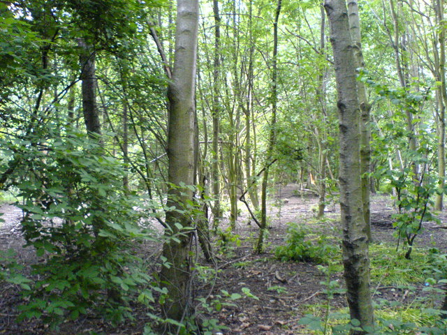
Image: © Keith Williamson Taken: 26 May 2007
Woodland close to the Old River, Irlam. The Old River is a remnant of a bend of the River Irwell which was left after canalisation of the river to make the Manchester Ship Canal. See Image
Images are licensed for reuse under creativecommons.org/licenses/by-sa/2.0
Image Location


Leaflet Map data © OpenStreetMap
Latitude
53.441137
Longitude
-2.418772