Looking north from Church Lane
Introduction
The photograph on this page of Looking north from Church Lane by John Baker as part of the Geograph project.
The Geograph project started in 2005 with the aim of publishing, organising and preserving representative images for every square kilometre of Great Britain, Ireland and the Isle of Man.

There are currently over 7.5m images from over 14,400 individuals and you can help contribute to the project by visiting https://www.geograph.org.uk
Looking north from Church Lane
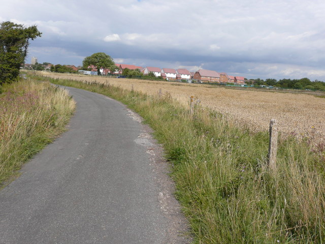
Image: © John Baker Taken: 16 Aug 2015
Towards the southern perimeter of the development known as Marsh View. Planning permission was approved, with conditions, by Folkestone and Hythe District Council under application number Y08/1002/SH for the “erection of sixty dwellings and associated infrastructure being details pursuant to outline permission Y05/0258/SH (matters relating to siting, design, external appearance, access and landscaping) and approval of conditions 6, 7, 10, 11, 12 and 14”. The council describes the site as Allotment Gardens and the development may be being built on former allotment gardens, as there are some to the left of the solitary tree, that are known as Church Lane Allotment Gardens and Gardening Services.
Images are licensed for reuse under creativecommons.org/licenses/by-sa/2.0
Image Location
Latitude
50.982556
Longitude
0.945561