51, Rolfe Lane
Introduction
The photograph on this page of 51, Rolfe Lane by John Baker as part of the Geograph project.
The Geograph project started in 2005 with the aim of publishing, organising and preserving representative images for every square kilometre of Great Britain, Ireland and the Isle of Man.

There are currently over 7.5m images from over 14,400 individuals and you can help contribute to the project by visiting https://www.geograph.org.uk
51, Rolfe Lane
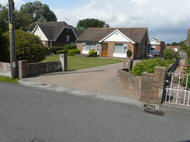
Image: © John Baker Taken: 16 Aug 2015
Planning permission has been approved by Folkestone and Hythe District Council under application number Y14/0888/SH as the “certificate of lawful development for the proposed use of the garage for living accommodation and associated works including alterations to the roof to form a pitch” and Y13/1271/SH as the “certificate of proposed lawful development for the extension and alterations to existing detached garage”. The garage can be seen to the right of the bungalow.
Images are licensed for reuse under creativecommons.org/licenses/by-sa/2.0
Image Location


Leaflet Map data © OpenStreetMap
Latitude
50.989047
Longitude
0.941412