Cowslip Drive, Lindfield
Introduction
The photograph on this page of Cowslip Drive, Lindfield by Simon Carey as part of the Geograph project.
The Geograph project started in 2005 with the aim of publishing, organising and preserving representative images for every square kilometre of Great Britain, Ireland and the Isle of Man.

There are currently over 7.5m images from over 14,400 individuals and you can help contribute to the project by visiting https://www.geograph.org.uk
Cowslip Drive, Lindfield
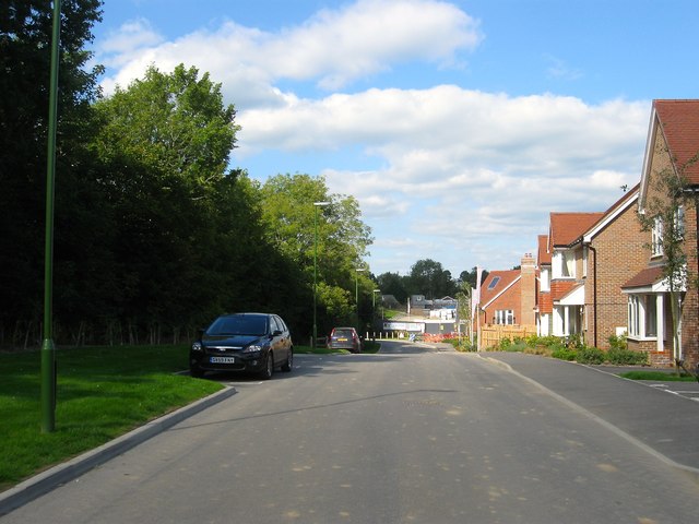
Image: © Simon Carey Taken: 6 Sep 2015
Part of the new Heathwood Park estate currently being developed on the south eastern side of the village. Originally a field called Five Acres according to Lindfield's 1845 tithe map the former tree lined field boundary still remains on the left containing a public footpath that links Lyoth lane to Gravelye Lane.
Images are licensed for reuse under creativecommons.org/licenses/by-sa/2.0
Image Location
Latitude
51.000554
Longitude
-0.077565