Tower block demolition
Introduction
The photograph on this page of Tower block demolition by Richard Sutcliffe as part of the Geograph project.
The Geograph project started in 2005 with the aim of publishing, organising and preserving representative images for every square kilometre of Great Britain, Ireland and the Isle of Man.

There are currently over 7.5m images from over 14,400 individuals and you can help contribute to the project by visiting https://www.geograph.org.uk
Tower block demolition
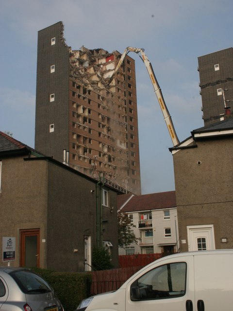
Image: © Richard Sutcliffe Taken: 8 Sep 2015
The start of the demolition of the first of four tower blocks at Tarfside Oval, seen from Muirdrum Avenue.
Images are licensed for reuse under creativecommons.org/licenses/by-sa/2.0
Image Location
Latitude
55.842462
Longitude
-4.338008