Whitehaven from the air
Introduction
The photograph on this page of Whitehaven from the air by Thomas Nugent as part of the Geograph project.
The Geograph project started in 2005 with the aim of publishing, organising and preserving representative images for every square kilometre of Great Britain, Ireland and the Isle of Man.

There are currently over 7.5m images from over 14,400 individuals and you can help contribute to the project by visiting https://www.geograph.org.uk
Whitehaven from the air
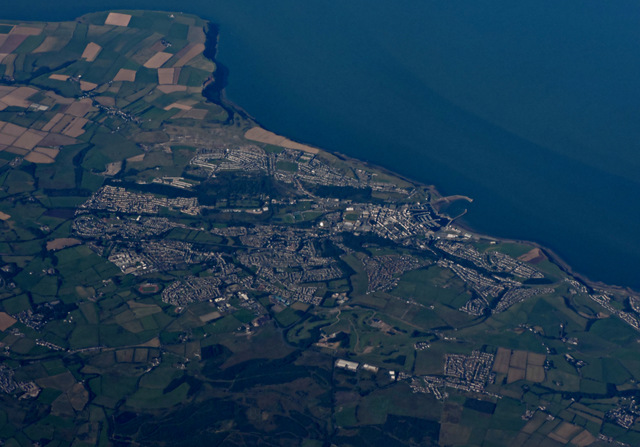
Image: © Thomas Nugent Taken: 31 Aug 2015
Whitehaven Commercial park and Whitehaven Golf Club are in the foreground. North Head and St Bees Head are in the distance.
Images are licensed for reuse under creativecommons.org/licenses/by-sa/2.0
Image Location
Latitude
54.552156
Longitude
-3.550408