Puddle, track and signpost, Sprydon Walk
Introduction
The photograph on this page of Puddle, track and signpost, Sprydon Walk by Derek Harper as part of the Geograph project.
The Geograph project started in 2005 with the aim of publishing, organising and preserving representative images for every square kilometre of Great Britain, Ireland and the Isle of Man.

There are currently over 7.5m images from over 14,400 individuals and you can help contribute to the project by visiting https://www.geograph.org.uk
Puddle, track and signpost, Sprydon Walk
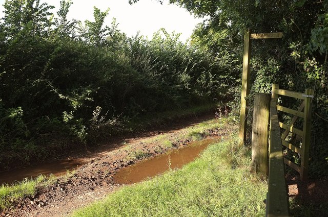
Image: © Derek Harper Taken: 2 Sep 2015
The field access track leads from the B3151. The footpath sign indicates the direction of the Sprydon Walk http://www.nationaltrust.org.uk/killerton/things-to-see-and-do/view-page/item470090/ .
Images are licensed for reuse under creativecommons.org/licenses/by-sa/2.0
Image Location
Latitude
50.790416
Longitude
-3.438677