City of London, 1983: southward from Holborn Viaduct
Introduction
The photograph on this page of City of London, 1983: southward from Holborn Viaduct by Ben Brooksbank as part of the Geograph project.
The Geograph project started in 2005 with the aim of publishing, organising and preserving representative images for every square kilometre of Great Britain, Ireland and the Isle of Man.

There are currently over 7.5m images from over 14,400 individuals and you can help contribute to the project by visiting https://www.geograph.org.uk
City of London, 1983: southward from Holborn Viaduct
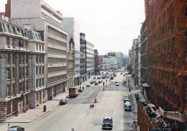
Image: © Ben Brooksbank Taken: 30 Apr 1983
Actually on the Viaduct of the A40 Holborn Viaduct, we are looking down on Farringdon Street (A201) towards Ludgate Circus and Blackfriars Bridge: it is a Saturday.
Images are licensed for reuse under creativecommons.org/licenses/by-sa/2.0
Image Location
Latitude
51.516833
Longitude
-0.104911