Alma Road, Lindfield
Introduction
The photograph on this page of Alma Road, Lindfield by Simon Carey as part of the Geograph project.
The Geograph project started in 2005 with the aim of publishing, organising and preserving representative images for every square kilometre of Great Britain, Ireland and the Isle of Man.

There are currently over 7.5m images from over 14,400 individuals and you can help contribute to the project by visiting https://www.geograph.org.uk
Alma Road, Lindfield
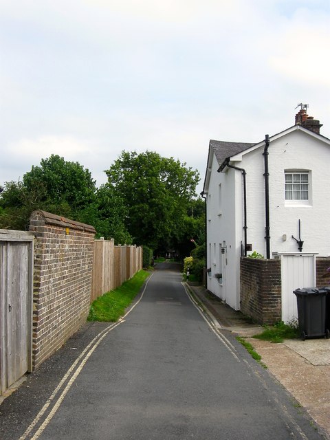
Image: © Simon Carey Taken: 30 Aug 2015
A cul de sac off the High Street that given the name, was probably develop around or after the Crimean War of 1853-56. Alma Cottages are on the right and are a set of four that are at right angles to the road.
Images are licensed for reuse under creativecommons.org/licenses/by-sa/2.0
Image Location
Latitude
51.013088
Longitude
-0.079613