Park Avenue, Stourport-on-Severn
Introduction
The photograph on this page of Park Avenue, Stourport-on-Severn by P L Chadwick as part of the Geograph project.
The Geograph project started in 2005 with the aim of publishing, organising and preserving representative images for every square kilometre of Great Britain, Ireland and the Isle of Man.

There are currently over 7.5m images from over 14,400 individuals and you can help contribute to the project by visiting https://www.geograph.org.uk
Park Avenue, Stourport-on-Severn
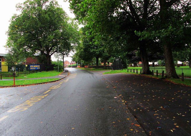
Image: © P L Chadwick Taken: 31 Aug 2015
Park Avenue links Bewdley Road (the B4195) with Lickhill Road. This view is looking towards Lickhill Road, with the new Stourport Primary School on the left and the War Memorial Park on the right. Image
Images are licensed for reuse under creativecommons.org/licenses/by-sa/2.0
Image Location
Latitude
52.343124
Longitude
-2.28428