14-16, High Street, Lindfield
Introduction
The photograph on this page of 14-16, High Street, Lindfield by Simon Carey as part of the Geograph project.
The Geograph project started in 2005 with the aim of publishing, organising and preserving representative images for every square kilometre of Great Britain, Ireland and the Isle of Man.

There are currently over 7.5m images from over 14,400 individuals and you can help contribute to the project by visiting https://www.geograph.org.uk
14-16, High Street, Lindfield
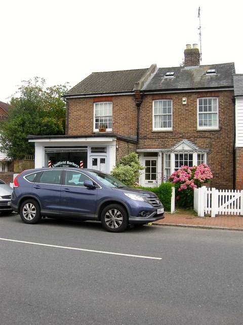
Image: © Simon Carey Taken: 30 Aug 2015
A pair if cottages that date from at least the mid 19th century as they appear on Lindfield's 1845 tithe map and predate Image their neighbours to the south. Number 14 is the dwelling whilst 16 has had a shop front built as an extension and is currently home to Lindfield Barbers.
Images are licensed for reuse under creativecommons.org/licenses/by-sa/2.0
Image Location
Latitude
51.010962
Longitude
-0.081554