6, High Street, Lindfield
Introduction
The photograph on this page of 6, High Street, Lindfield by Simon Carey as part of the Geograph project.
The Geograph project started in 2005 with the aim of publishing, organising and preserving representative images for every square kilometre of Great Britain, Ireland and the Isle of Man.

There are currently over 7.5m images from over 14,400 individuals and you can help contribute to the project by visiting https://www.geograph.org.uk
6, High Street, Lindfield
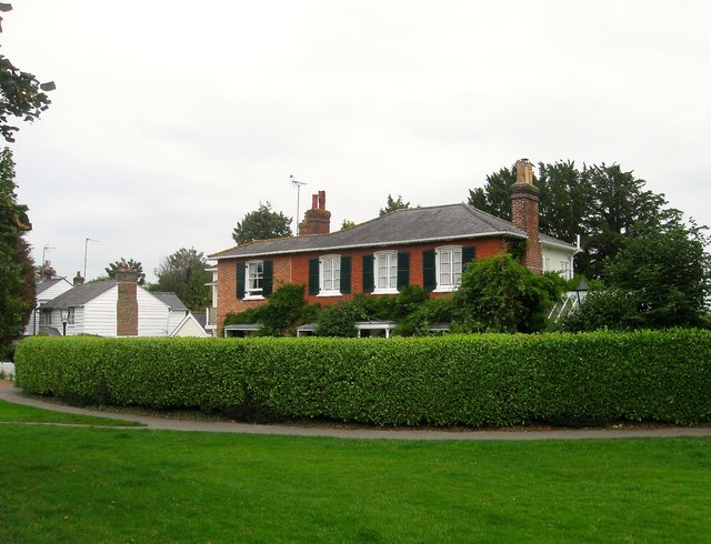
Image: © Simon Carey Taken: 30 Aug 2015
Originally called Pelham Villa but now known as Pelham House it was built in 1830 next to Lindfield Common and is the first house on the eastern side coming from the south. Beyond is Image
Images are licensed for reuse under creativecommons.org/licenses/by-sa/2.0
Image Location
Latitude
51.010515
Longitude
-0.081715