Public open space - Hawkesley
Introduction
The photograph on this page of Public open space - Hawkesley by Chris Allen as part of the Geograph project.
The Geograph project started in 2005 with the aim of publishing, organising and preserving representative images for every square kilometre of Great Britain, Ireland and the Isle of Man.

There are currently over 7.5m images from over 14,400 individuals and you can help contribute to the project by visiting https://www.geograph.org.uk
Public open space - Hawkesley
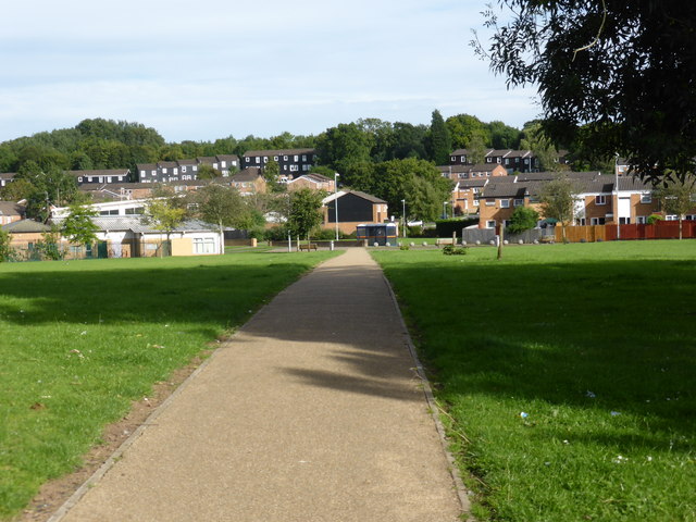
Image: © Chris Allen Taken: 29 Aug 2015
Traversed while walking from one portal to the other of the Wast Hill tunnel on the Worcester & Birmingham Canal. The tunnel is about 1.5 miles in length but the detour over the top was definitely longer.
Images are licensed for reuse under creativecommons.org/licenses/by-sa/2.0
Image Location


Leaflet Map data © OpenStreetMap
Latitude
52.395141
Longitude
-1.933824