View north of Ashford
Introduction
The photograph on this page of View north of Ashford by Derek Harper as part of the Geograph project.
The Geograph project started in 2005 with the aim of publishing, organising and preserving representative images for every square kilometre of Great Britain, Ireland and the Isle of Man.

There are currently over 7.5m images from over 14,400 individuals and you can help contribute to the project by visiting https://www.geograph.org.uk
View north of Ashford
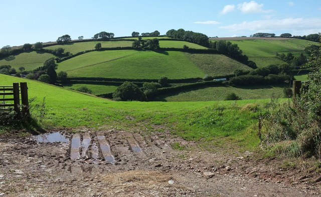
Image: © Derek Harper Taken: 27 Aug 2015
Neither the hill nor the stream in the valley is named on maps, though the latter is a tributary of the Avon. This is the view on the other side of the lane from Image], with a lorry negotiating the A379 by the forked junction with a lane past Helliers Farm (extreme left).
Images are licensed for reuse under creativecommons.org/licenses/by-sa/2.0
Image Location


Leaflet Map data © OpenStreetMap
Latitude
50.328062
Longitude
-3.846021