Development, High Street, Gateshead
Introduction
The photograph on this page of Development, High Street, Gateshead by Stephen Richards as part of the Geograph project.
The Geograph project started in 2005 with the aim of publishing, organising and preserving representative images for every square kilometre of Great Britain, Ireland and the Isle of Man.

There are currently over 7.5m images from over 14,400 individuals and you can help contribute to the project by visiting https://www.geograph.org.uk
Development, High Street, Gateshead
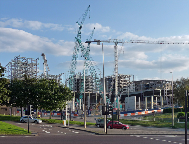
Image: © Stephen Richards Taken: 14 Aug 2012
There's a funny thing about Gateshead. It's pretty big - the council area covers a population of around 200,000 - and yet there's nothing there. No central focus to speak of. The council demolished its most interesting architectural asset (Image]), and here was resorting to the only thing anyone can ever think of nowadays when they talk of urban regeneration, which is to build a large shopping centre. This one looked so large it's almost like starting again.
Images are licensed for reuse under creativecommons.org/licenses/by-sa/2.0
Image Location
Latitude
54.964128
Longitude
-1.602014