Rough road surface in Pen-y-fai
Introduction
The photograph on this page of Rough road surface in Pen-y-fai by Jaggery as part of the Geograph project.
The Geograph project started in 2005 with the aim of publishing, organising and preserving representative images for every square kilometre of Great Britain, Ireland and the Isle of Man.

There are currently over 7.5m images from over 14,400 individuals and you can help contribute to the project by visiting https://www.geograph.org.uk
Rough road surface in Pen-y-fai
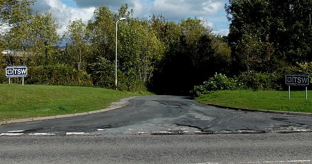
Image: © Jaggery Taken: 10 Oct 2014
On an access road from the A4063 Bridgend Road to TSW Training.
Images are licensed for reuse under creativecommons.org/licenses/by-sa/2.0
Image Location
Latitude
51.532411
Longitude
-3.590557