Farm near Burnt Houses
Introduction
The photograph on this page of Farm near Burnt Houses by Andrew Curtis as part of the Geograph project.
The Geograph project started in 2005 with the aim of publishing, organising and preserving representative images for every square kilometre of Great Britain, Ireland and the Isle of Man.

There are currently over 7.5m images from over 14,400 individuals and you can help contribute to the project by visiting https://www.geograph.org.uk
Farm near Burnt Houses
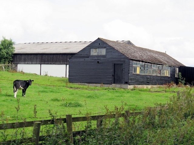
Image: © Andrew Curtis Taken: 21 Aug 2015
The map names the farm as Rise Slowly, possibly after Mount Slowly on the main road close to the north. It was formerly Burnt Houses Lodge.
Images are licensed for reuse under creativecommons.org/licenses/by-sa/2.0
Image Location
Latitude
54.605539
Longitude
-1.815902