Naseby Grange, Burmantofts
Introduction
The photograph on this page of Naseby Grange, Burmantofts by Stephen Craven as part of the Geograph project.
The Geograph project started in 2005 with the aim of publishing, organising and preserving representative images for every square kilometre of Great Britain, Ireland and the Isle of Man.

There are currently over 7.5m images from over 14,400 individuals and you can help contribute to the project by visiting https://www.geograph.org.uk
Naseby Grange, Burmantofts
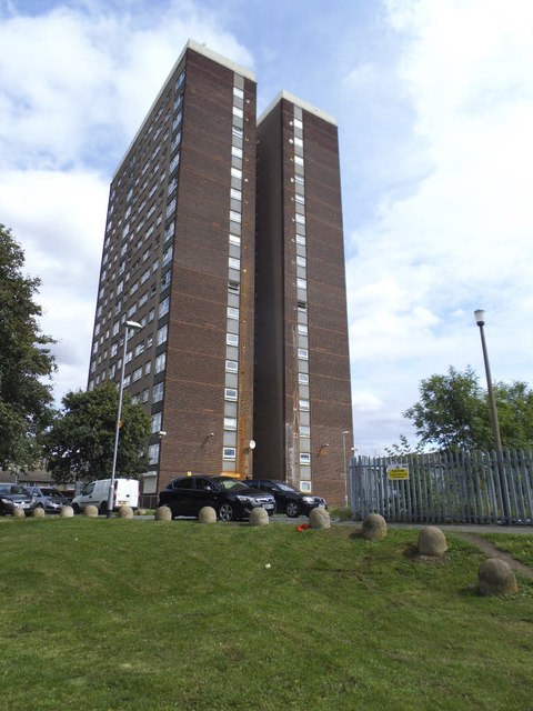
Image: © Stephen Craven Taken: 25 Aug 2015
An 18-storey high-rise block of flats in an area formerly occupied by terraced housing that has been redeveloped in recent decades.
Images are licensed for reuse under creativecommons.org/licenses/by-sa/2.0
Image Location
Latitude
53.800922
Longitude
-1.527927