Harvest time on Trowell Moor
Introduction
The photograph on this page of Harvest time on Trowell Moor by Garth Newton as part of the Geograph project.
The Geograph project started in 2005 with the aim of publishing, organising and preserving representative images for every square kilometre of Great Britain, Ireland and the Isle of Man.

There are currently over 7.5m images from over 14,400 individuals and you can help contribute to the project by visiting https://www.geograph.org.uk
Harvest time on Trowell Moor
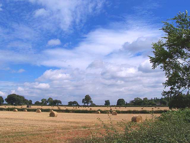
Image: © Garth Newton Taken: 28 Aug 2005
It's hard to believe from this view but just beyond the trees on the horizon towards the right of the picture are the first houses within the city boundary of Nottingham. This corridor of farmland is bounded on the west by the M1 at Trowell.
Images are licensed for reuse under creativecommons.org/licenses/by-sa/2.0
Image Location
Latitude
52.956451
Longitude
-1.25077