Long straight road
Introduction
The photograph on this page of Long straight road by Natasha Ceridwen de Chroustchoff as part of the Geograph project.
The Geograph project started in 2005 with the aim of publishing, organising and preserving representative images for every square kilometre of Great Britain, Ireland and the Isle of Man.

There are currently over 7.5m images from over 14,400 individuals and you can help contribute to the project by visiting https://www.geograph.org.uk
Long straight road
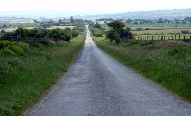
Image: © Natasha Ceridwen de Chroustchoff Taken: 10 Jun 2007
Looking down the stem of a T junction between Rosebush and Mynachlog-ddu. The top of the T is the road which acts as the southern boundary of the Pembrokeshire Coast National Park as it winds around the lower slopes of the Preselis.
Images are licensed for reuse under creativecommons.org/licenses/by-sa/2.0
Image Location


Leaflet Map data © OpenStreetMap
Latitude
51.927779
Longitude
-4.766233