Rubble, Blairskaith
Introduction
The photograph on this page of Rubble, Blairskaith by Richard Sutcliffe as part of the Geograph project.
The Geograph project started in 2005 with the aim of publishing, organising and preserving representative images for every square kilometre of Great Britain, Ireland and the Isle of Man.

There are currently over 7.5m images from over 14,400 individuals and you can help contribute to the project by visiting https://www.geograph.org.uk
Rubble, Blairskaith
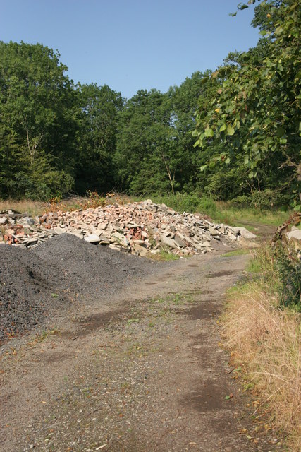
Image: © Richard Sutcliffe Taken: 23 Aug 2015
Piles of rubble and other materials have been piled beside the old track into the southern end of Blairskaith Quarry.
Images are licensed for reuse under creativecommons.org/licenses/by-sa/2.0
Image Location
Latitude
55.950317
Longitude
-4.250964