The B4202 on the Worcestershire/Shropshire border
Introduction
The photograph on this page of The B4202 on the Worcestershire/Shropshire border by Philip Halling as part of the Geograph project.
The Geograph project started in 2005 with the aim of publishing, organising and preserving representative images for every square kilometre of Great Britain, Ireland and the Isle of Man.

There are currently over 7.5m images from over 14,400 individuals and you can help contribute to the project by visiting https://www.geograph.org.uk
The B4202 on the Worcestershire/Shropshire border
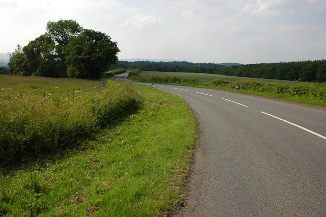
Image: © Philip Halling Taken: 9 Jun 2007
The road enters Shropshire as the road passes the trees on the left, a Shropshire county sign is just visible under the trees. A hazy Brown Clee Hill can be seen on the horizon.
Images are licensed for reuse under creativecommons.org/licenses/by-sa/2.0
Image Location
Latitude
52.365776
Longitude
-2.433196