Old level crossing, Mead Lane
Introduction
The photograph on this page of Old level crossing, Mead Lane by Robin Webster as part of the Geograph project.
The Geograph project started in 2005 with the aim of publishing, organising and preserving representative images for every square kilometre of Great Britain, Ireland and the Isle of Man.

There are currently over 7.5m images from over 14,400 individuals and you can help contribute to the project by visiting https://www.geograph.org.uk
Old level crossing, Mead Lane
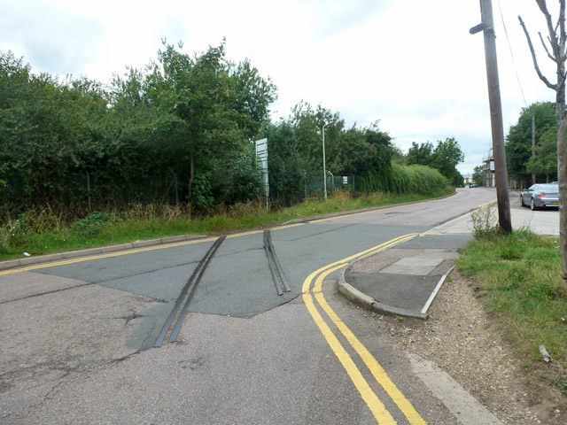
Image: © Robin Webster Taken: 21 Aug 2015
This was for King's Mead siding, serving the gas works. It was arranged to be most easily reached from the Hertford East - Hertford North (GE to GN) link line, now gone.
Images are licensed for reuse under creativecommons.org/licenses/by-sa/2.0
Image Location
Latitude
51.800811
Longitude
-0.066194