View WNW from Rowney Lane
Introduction
The photograph on this page of View WNW from Rowney Lane by Robin Webster as part of the Geograph project.
The Geograph project started in 2005 with the aim of publishing, organising and preserving representative images for every square kilometre of Great Britain, Ireland and the Isle of Man.

There are currently over 7.5m images from over 14,400 individuals and you can help contribute to the project by visiting https://www.geograph.org.uk
View WNW from Rowney Lane
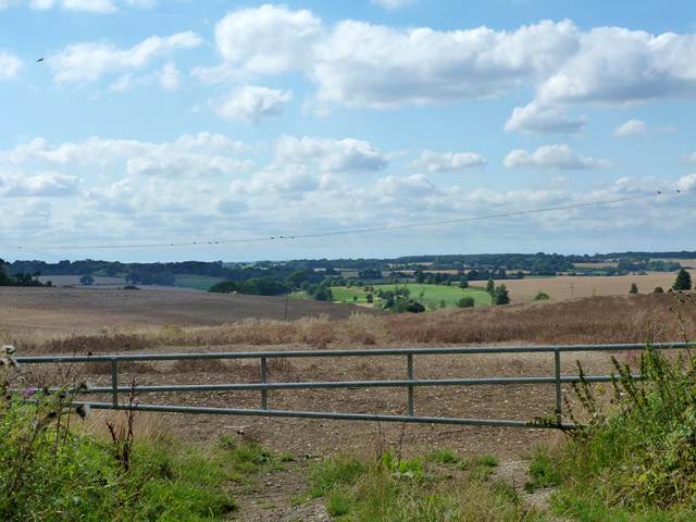
Image: © Robin Webster Taken: 21 Aug 2015
The green patch in the middle is the extremity of Whitehill golf course, most of which is below the brow of the hill on the right.
Images are licensed for reuse under creativecommons.org/licenses/by-sa/2.0
Image Location
Latitude
51.864734
Longitude
-0.054594