Footpath 48 between Highfield Road and Miswell Lane, Tring
Introduction
The photograph on this page of Footpath 48 between Highfield Road and Miswell Lane, Tring by Chris Reynolds as part of the Geograph project.
The Geograph project started in 2005 with the aim of publishing, organising and preserving representative images for every square kilometre of Great Britain, Ireland and the Isle of Man.

There are currently over 7.5m images from over 14,400 individuals and you can help contribute to the project by visiting https://www.geograph.org.uk
Footpath 48 between Highfield Road and Miswell Lane, Tring
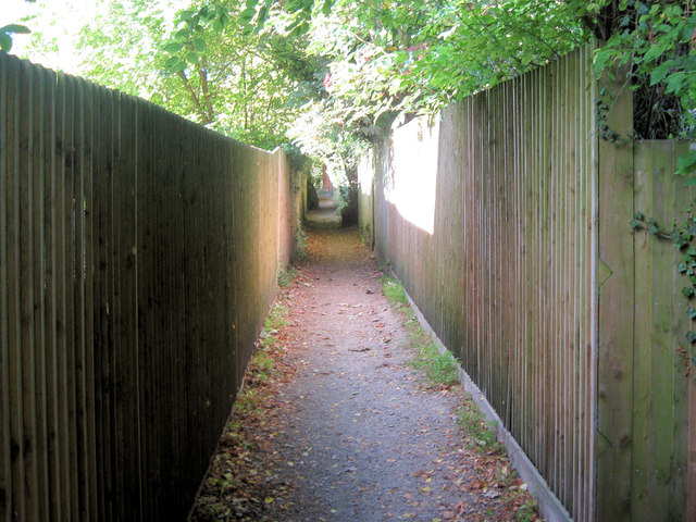
Image: © Chris Reynolds Taken: 29 Sep 2009
This part of the footpath almost certainly follows the line of the original way over the fields, but is now fenced in so tightly that it is unsuitable for use by bicycles.
Images are licensed for reuse under creativecommons.org/licenses/by-sa/2.0
Image Location
Latitude
51.794039
Longitude
-0.673932