Scaynes Hill Recreation Ground
Introduction
The photograph on this page of Scaynes Hill Recreation Ground by Simon Carey as part of the Geograph project.
The Geograph project started in 2005 with the aim of publishing, organising and preserving representative images for every square kilometre of Great Britain, Ireland and the Isle of Man.

There are currently over 7.5m images from over 14,400 individuals and you can help contribute to the project by visiting https://www.geograph.org.uk
Scaynes Hill Recreation Ground
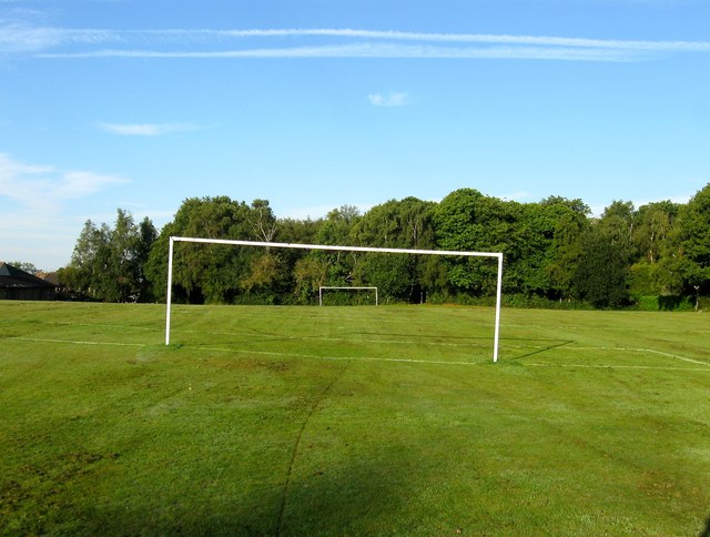
Image: © Simon Carey Taken: 22 Aug 2015
Containing a playground, hard court area and one of the least flat football pitches in Sussex. On Lindield's 1845 tithe map it is known as Rough Field and became a playing field in the 1950s though lost its northern end to the construction of a new school in the mid 1990s.
Images are licensed for reuse under creativecommons.org/licenses/by-sa/2.0
Image Location
Latitude
50.993141
Longitude
-0.053504