Burnt Leys Farm
Introduction
The photograph on this page of Burnt Leys Farm by Jonathan Thacker as part of the Geograph project.
The Geograph project started in 2005 with the aim of publishing, organising and preserving representative images for every square kilometre of Great Britain, Ireland and the Isle of Man.

There are currently over 7.5m images from over 14,400 individuals and you can help contribute to the project by visiting https://www.geograph.org.uk
Burnt Leys Farm
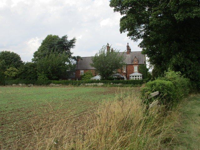
Image: © Jonathan Thacker Taken: 22 Aug 2015
Looks to be a cut above the usual Victorian farmhouse. Who designed it? Burnt Leys Farm was part of the Worksop Manor Estate which was owned by the Duke of Newcastle. Could one of the architects employed at Clumber Park be responsible?
Images are licensed for reuse under creativecommons.org/licenses/by-sa/2.0
Image Location
Latitude
53.294015
Longitude
-1.185167