Heol Morlais, Llangennech
Introduction
The photograph on this page of Heol Morlais, Llangennech by Jaggery as part of the Geograph project.
The Geograph project started in 2005 with the aim of publishing, organising and preserving representative images for every square kilometre of Great Britain, Ireland and the Isle of Man.

There are currently over 7.5m images from over 14,400 individuals and you can help contribute to the project by visiting https://www.geograph.org.uk
Heol Morlais, Llangennech
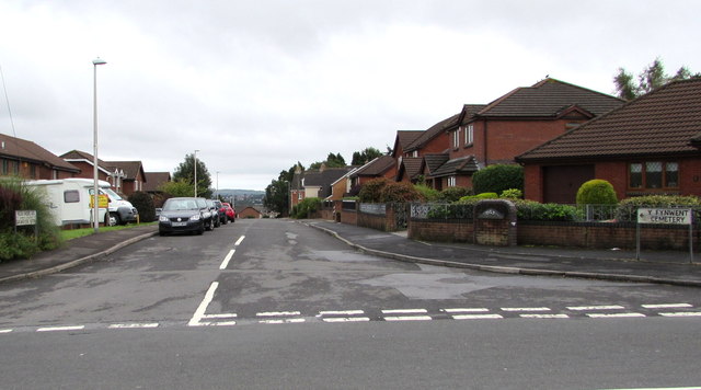
Image: © Jaggery Taken: 20 Aug 2015
On the SE side of the B4297 Hendre Road. A sign on the right points along Heol Morlais towards a cemetery.
Images are licensed for reuse under creativecommons.org/licenses/by-sa/2.0
Image Location
Latitude
51.690724
Longitude
-4.086868