Bench mark in Prince of Wales Gardens
Introduction
The photograph on this page of Bench mark in Prince of Wales Gardens by John S Turner as part of the Geograph project.
The Geograph project started in 2005 with the aim of publishing, organising and preserving representative images for every square kilometre of Great Britain, Ireland and the Isle of Man.

There are currently over 7.5m images from over 14,400 individuals and you can help contribute to the project by visiting https://www.geograph.org.uk
Bench mark in Prince of Wales Gardens
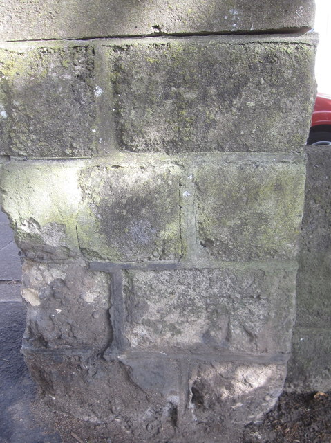
Image: © John S Turner Taken: 6 Jul 2010
This bench mark is on a stone pier where one of the Prince of Wales Gardens paths exits onto Prince of Wales Terrace. Although the gardens have been laid out since Victorian times, this bench mark, which appears on the 1967 O.S. maps, seems to be different from one shown on earlier maps a short distance to the north east.
Images are licensed for reuse under creativecommons.org/licenses/by-sa/2.0
Image Location
Latitude
54.273516
Longitude
-0.400263