North on A215 Denmark Hill near Champion Hill, 1983
Introduction
The photograph on this page of North on A215 Denmark Hill near Champion Hill, 1983 by Ben Brooksbank as part of the Geograph project.
The Geograph project started in 2005 with the aim of publishing, organising and preserving representative images for every square kilometre of Great Britain, Ireland and the Isle of Man.

There are currently over 7.5m images from over 14,400 individuals and you can help contribute to the project by visiting https://www.geograph.org.uk
North on A215 Denmark Hill near Champion Hill, 1983
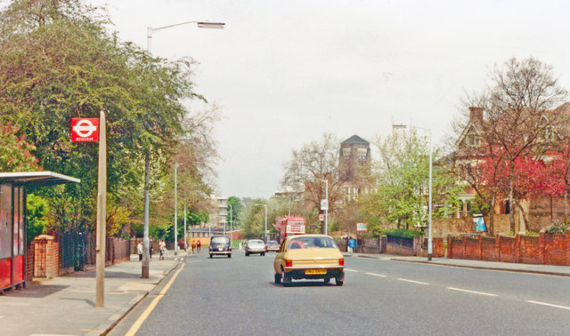
Image: © Ben Brooksbank Taken: 30 Apr 1983
View northward taken from the car by Ferndene Road, Ruskin Park being on the left. The tower ahead to the right is the Salvation Army Museum.
Images are licensed for reuse under creativecommons.org/licenses/by-sa/2.0
Image Location
Latitude
51.4648
Longitude
-0.090367