Greyfriars, Gravelye Lane, Lindfield
Introduction
The photograph on this page of Greyfriars, Gravelye Lane, Lindfield by Simon Carey as part of the Geograph project.
The Geograph project started in 2005 with the aim of publishing, organising and preserving representative images for every square kilometre of Great Britain, Ireland and the Isle of Man.

There are currently over 7.5m images from over 14,400 individuals and you can help contribute to the project by visiting https://www.geograph.org.uk
Greyfriars, Gravelye Lane, Lindfield
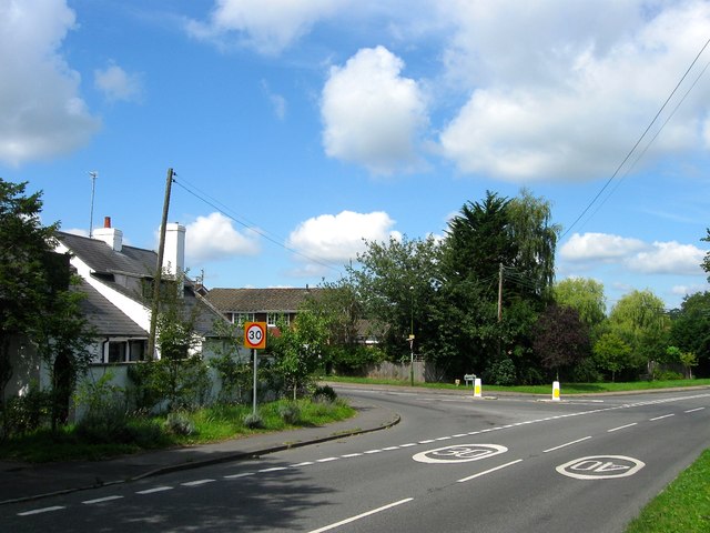
Image: © Simon Carey Taken: 15 Aug 2015
The first building reached when heading into Lindfield from the east on the junction of Lewes Road and Gravelye lane which dates from 1830 and is a former tollhouse. By the 1875 OS map it was known as Spire Cottage acquiring its current name sometime in the late 1950s.
Images are licensed for reuse under creativecommons.org/licenses/by-sa/2.0
Image Location
Latitude
51.007101
Longitude
-0.076439