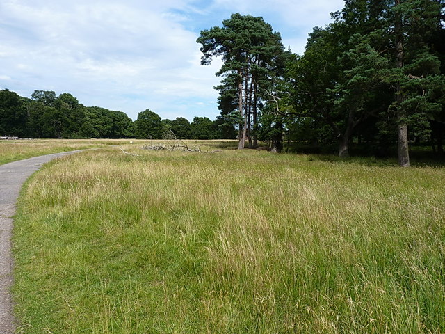
The north side of Little Egg Coppice
Introduction
The photograph on this page of The north side of Little Egg Coppice by Richard Law as part of the Geograph project.
The Geograph project started in 2005 with the aim of publishing, organising and preserving representative images for every square kilometre of Great Britain, Ireland and the Isle of Man.
There are currently over 7.5m images from over 14,400 individuals and you can help contribute to the project by visiting https://www.geograph.org.uk

Image: © Richard Law Taken: 2 Aug 2015
One of several small patches of woodland scattered throughout the deerpark; the understorey of the copse is left untouched to provide shelter for the herd of fallow deer. The concrete pathway that runs along this northern edge was installed during WWII, as part of the accesses for the nearby Atcham Airfield, the site of which is now occupied by the nearby trading estate.

