Edge of Epping Lower Forest
Introduction
The photograph on this page of Edge of Epping Lower Forest by Robin Webster as part of the Geograph project.
The Geograph project started in 2005 with the aim of publishing, organising and preserving representative images for every square kilometre of Great Britain, Ireland and the Isle of Man.

There are currently over 7.5m images from over 14,400 individuals and you can help contribute to the project by visiting https://www.geograph.org.uk
Edge of Epping Lower Forest
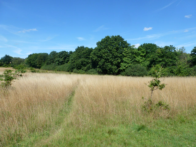
Image: © Robin Webster Taken: 17 Aug 2015
The near field is described on the City of London Epping Forest Map as "City owned Buffer Land with access on public or permissive rights of way".
Images are licensed for reuse under creativecommons.org/licenses/by-sa/2.0
Image Location
Latitude
51.705637
Longitude
0.128321